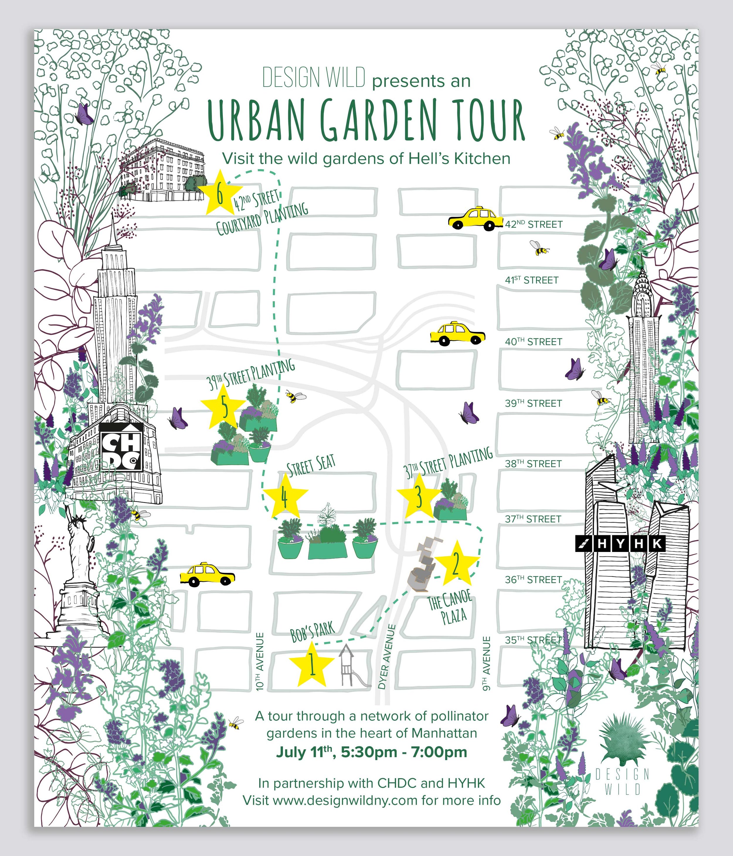
Illustrated map for an urban walking event
Design Wild, New York

Client:
Design Wild
Sector:
Urban Place Making
Location:
New York
The brief:
Design Wild asked me to create an appealing and accurate map to highlight key locations of a walking tour planned around a New York neighbourhood where they had worked to enhance the biodiversity of the streets.
The process:
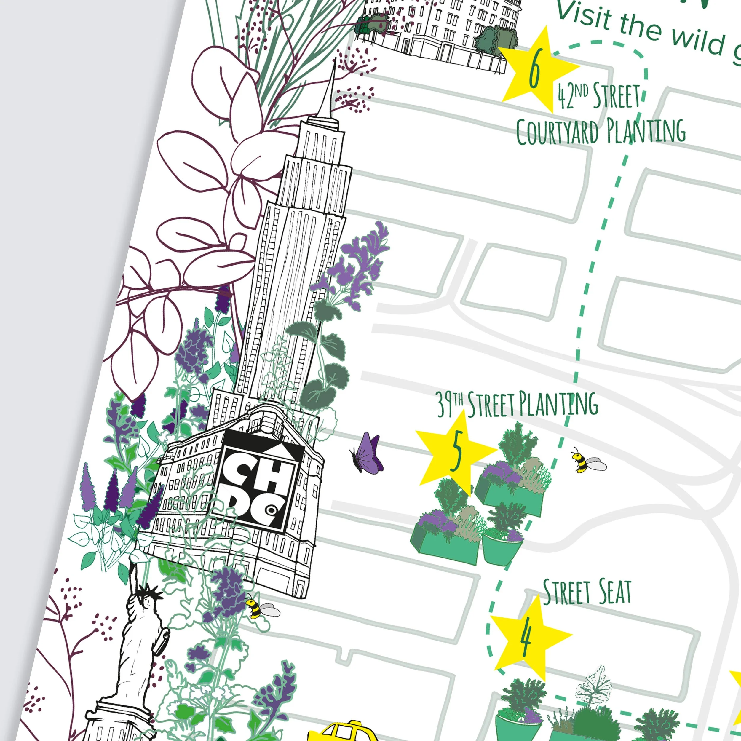
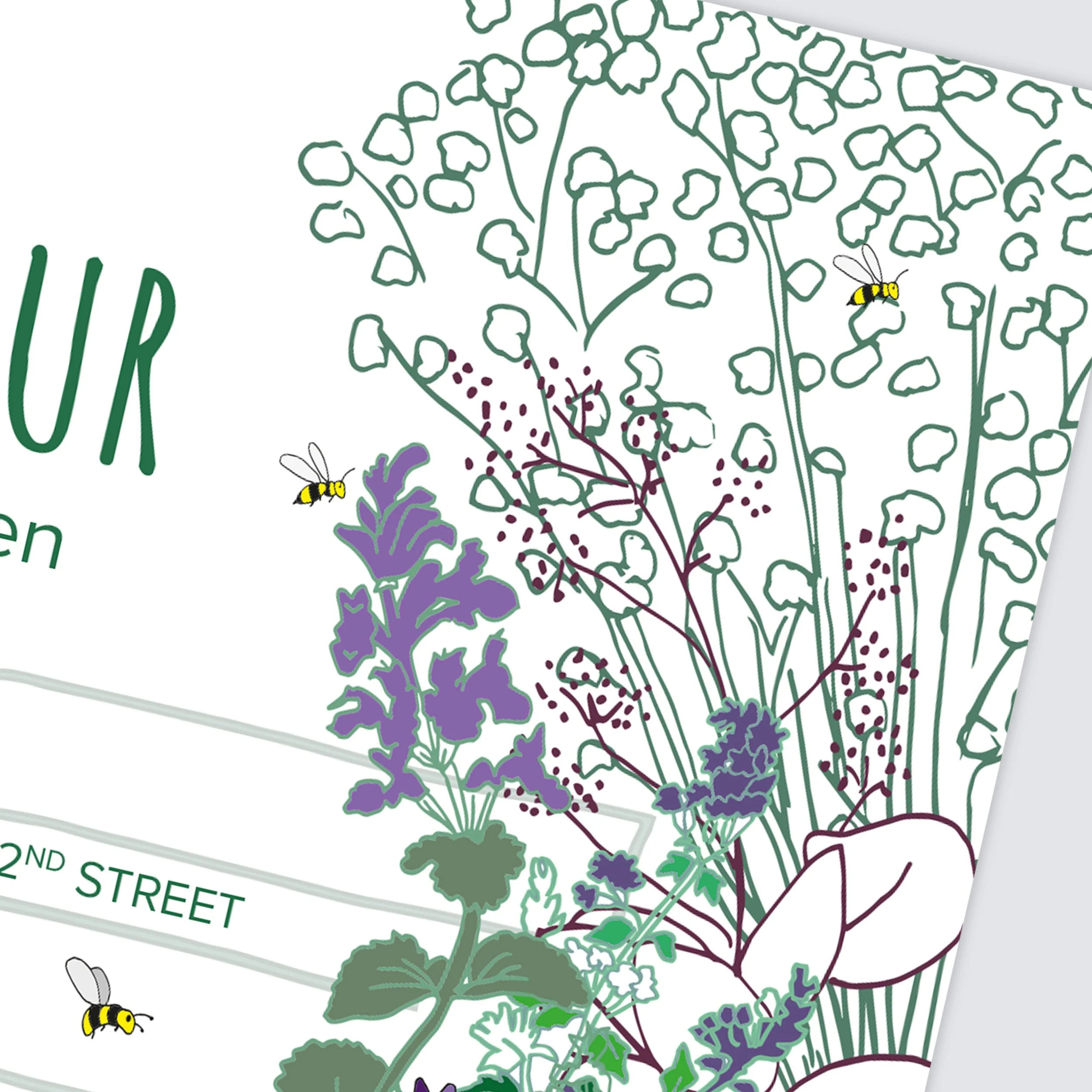
After an initial video call with Design Wild, I set about drawing up the base map of the Hell’s Kitchen neighbourhood where the walk was taking place. Once the base map was approved, and the artwork size confirmed, I drew up a foliage-based border hiding New York buildings within it. I then added in the project sites which the walk would visit. And finally I added in Design Wild’s logo.
The solution:
A hand-drawn, illustrated map, produced at 300 dpi ready for printing. The map was emailed to the client as JPEGs and PNGs for online use and as a high resolution PDF for print purposes.