Hand-drawn maps for places, events & organisations
I create eye-catching maps for landscape architects, urban designers, businesses, brands and private individuals.
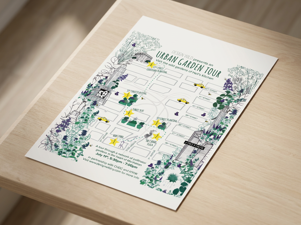
Maps tell the story of a place or event and bring destinations to life. I have a background in both Graphic Design and Landscape Architecture, giving me a combined skillset perfectly suited to creative map-making.
Based in North Yorkshire. Working across the UK & internationally.
Tell Your Story with a Bespoke Map
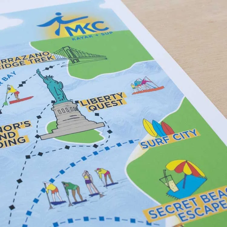
Guest Maps | Destination Maps | Walking Maps | Stateley Homes | Visitor Guides
Learn More »
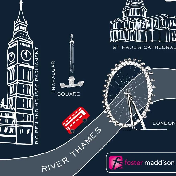
Location Maps | Neighbourhood Maps | Retail Maps | Illustrated Brand Maps | Digital Maps
Learn More »
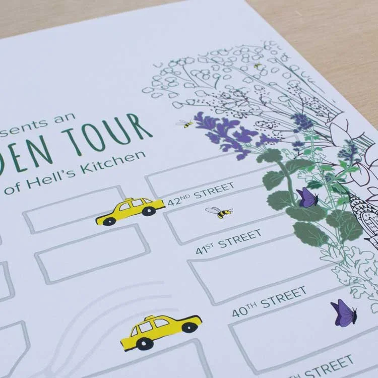
Festival Maps | Heritage Maps | Estate Maps | Wedding Maps | Event Guides
Learn More »
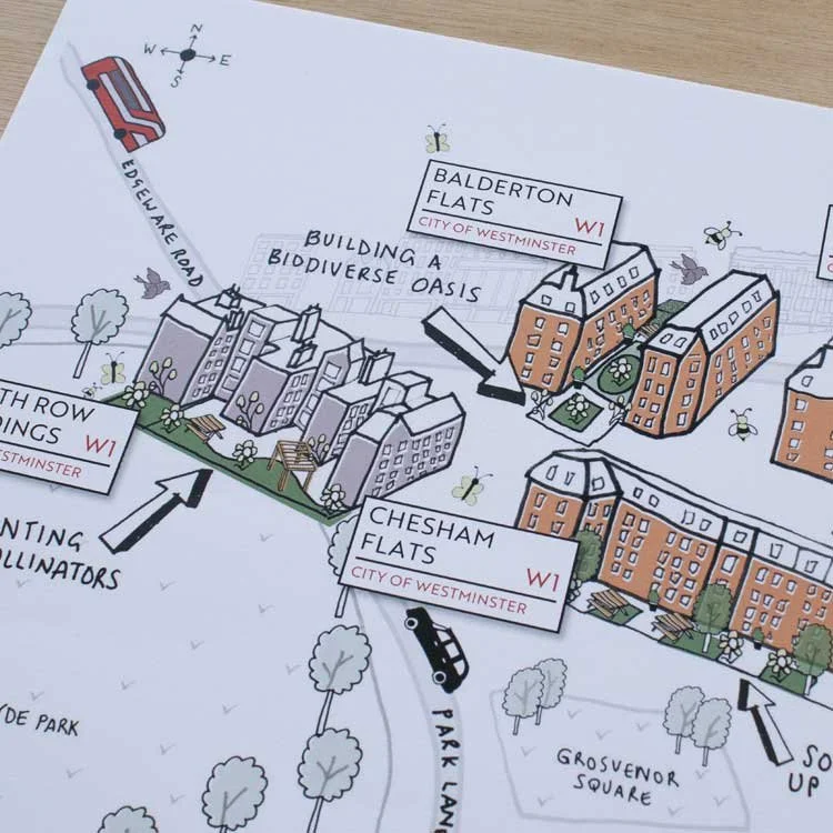
Site Plans | Landscape Maps | Masterplans | Consultation Graphics | Site Maps
Learn More »
A hand drawn map will guide your visitors, help people discover a place, tell the story of a landscape, promote a destination or business, explain a development or proposal, bring a brand or event to life.
The right map can:
Guide | Uncover | Communicate | Promote | Explain | Attract
Sally B.
A map maker who understands place & communication.
A great map communicates more than streets, buildings and landmarks. It starts with understanding the character of an area; what makes it distinctive, how people move through it and how everything fits together.
My background combines both Graphic Design/Illustration and Landscape Architecture, giving me an unusual perspective on map making. It’s this combination of design and understanding of place that makes my maps different.
My maps can communicate:
key landmarks
way finding through a site
how places work
landscape and topography
movement and connections
buildings and the spaces between them
highlights of a public realm
placemaking strategies
I can look at a place not just as something to draw, but as something to understand, interpret and communicate.
The result is a map that is beautiful to look at, but also considered, useful and true to the character of the place.
Tell the story of your place with a bespoke map.
Selected Work
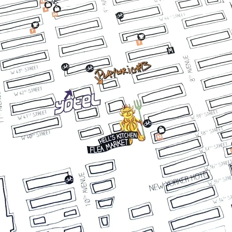
W42ST
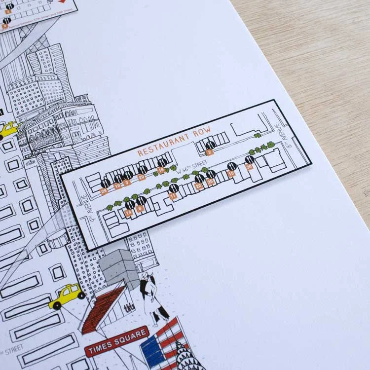
An illustrated neighbourhood map bringing Hell's Kitchen businesses and destinations to life.
Turkington Martin
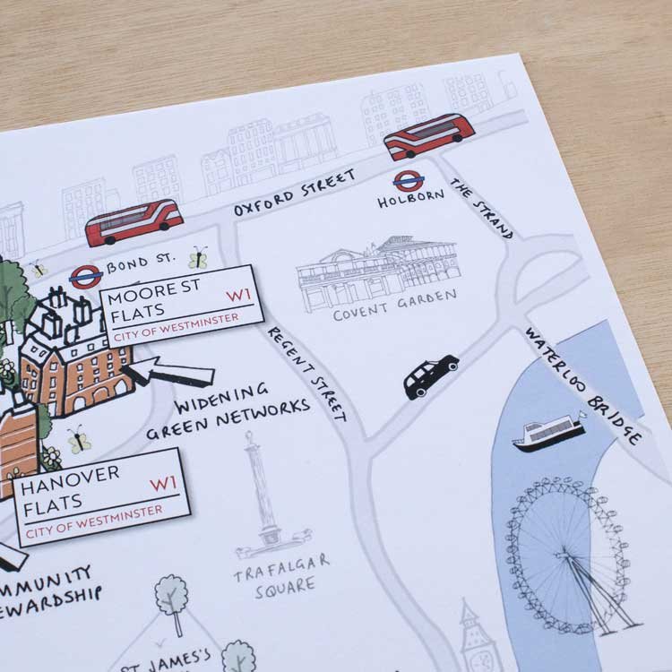
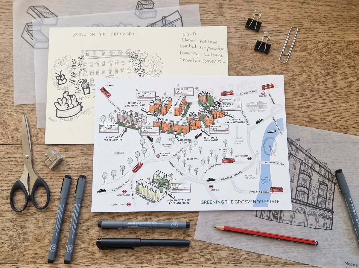
An illustrated landscape map communicating biodiversity across the Grosvenor Estate.
Prince’s Countryside Fund
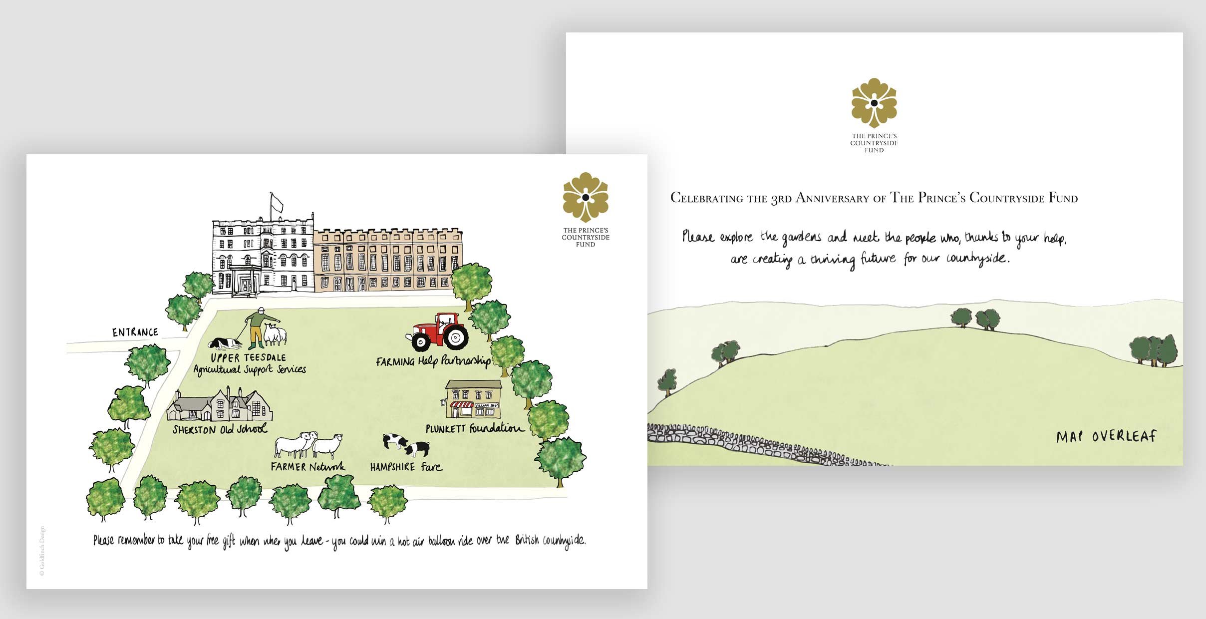
An illustrated map for an event held in the gardens of Clarence House.
“Sally did an amazing job working with the team at W42ST to produce the KTCHLST illustrated map. The ability to take a brief that needed a detailed map of the area with a creative flair and turn out such a beautiful illustration is remarkable.”
Phil, W42ST Magazine, New York
Do you have a map in mind?
Briefly tell me a little about your project and I'll come back to you within two working days with a personalised quote.